The Island Breathing
Video loop · 2026
August observations of the island in true colour, arranged by land area. The water of the White Sea is brown: rivers and bogs carry organic matter into it, and that is the colour the satellite sees.
Kiy Island has no fixed size.
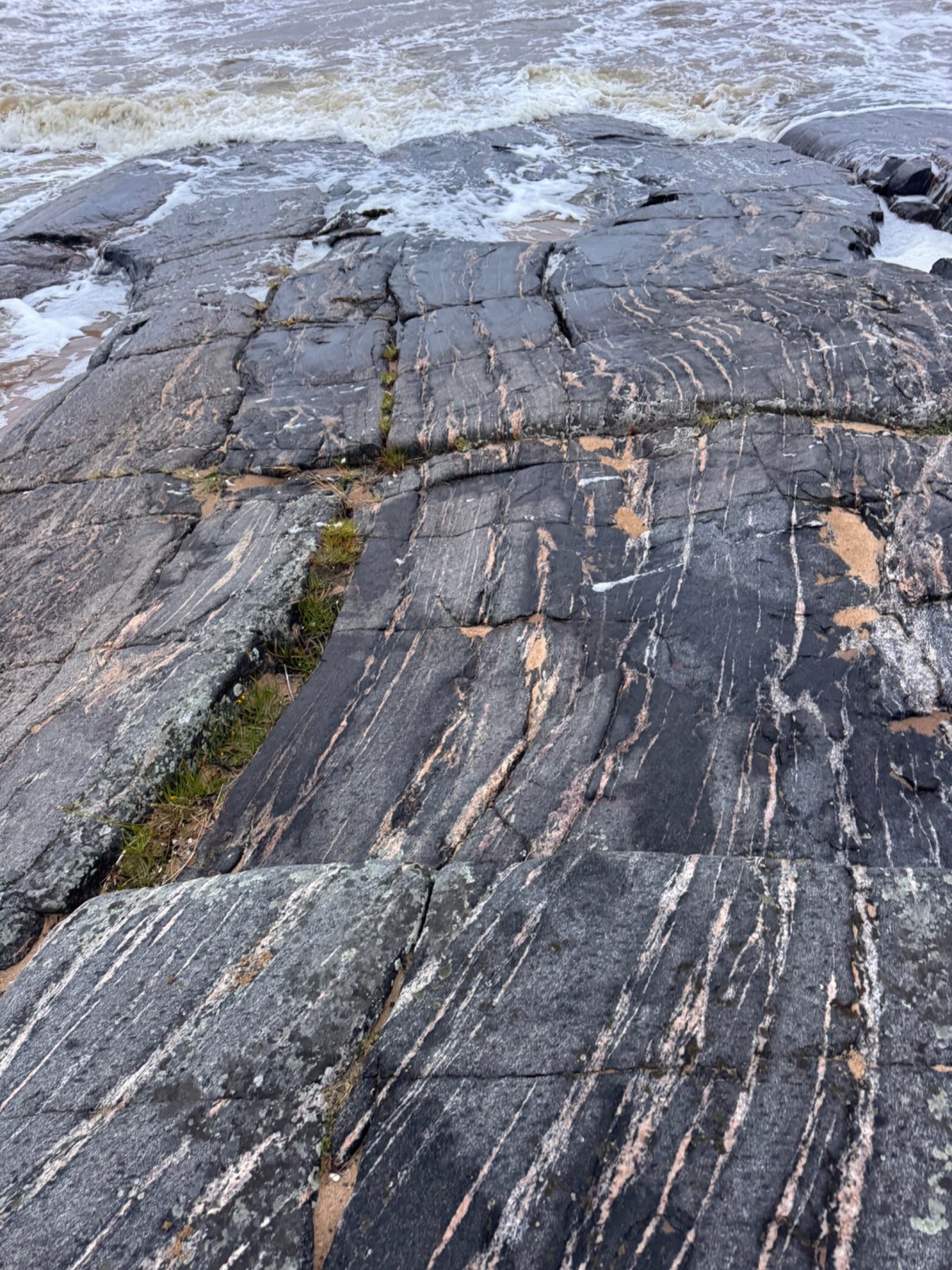
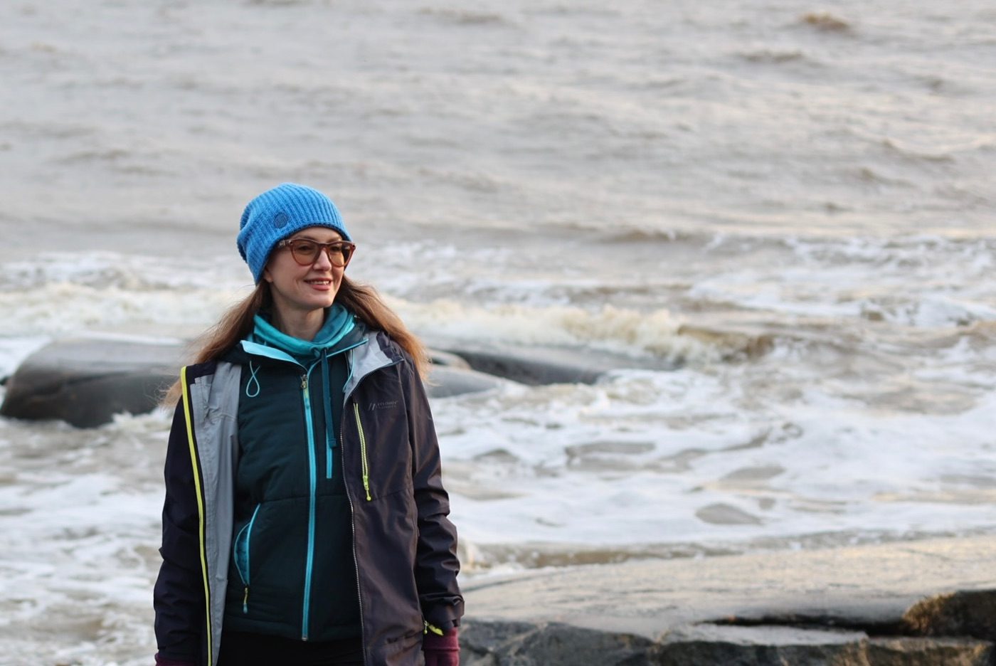
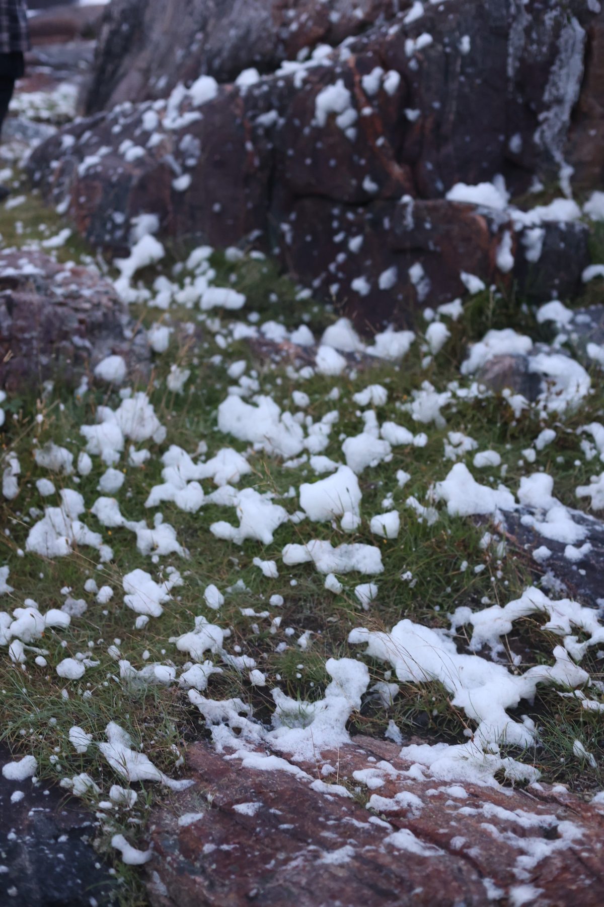
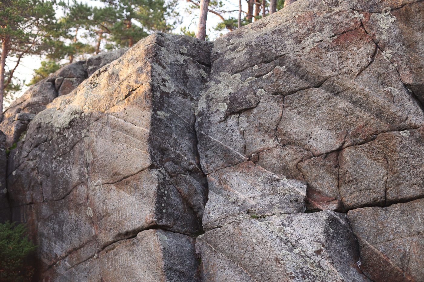
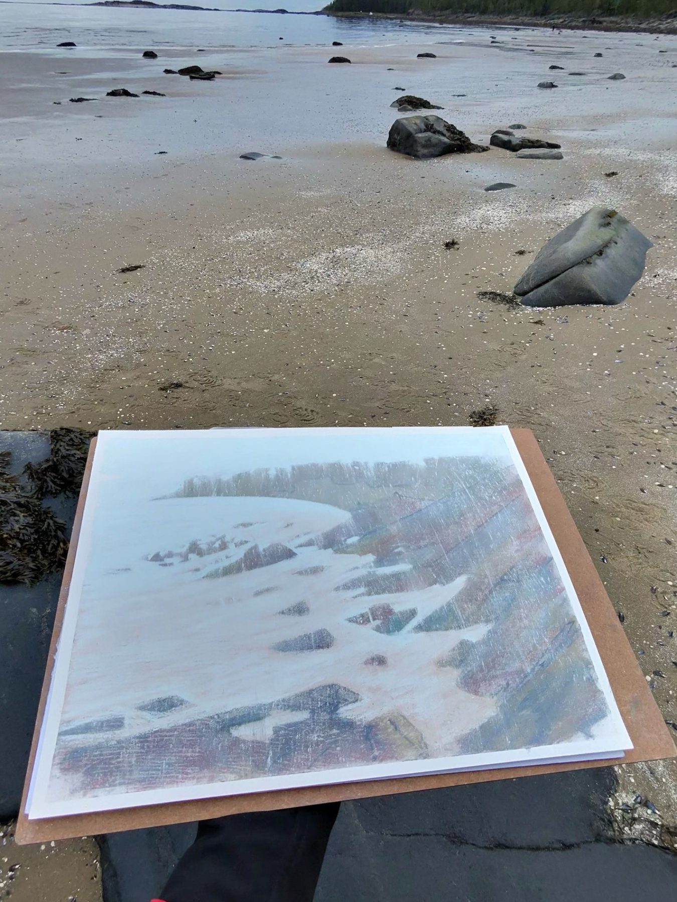
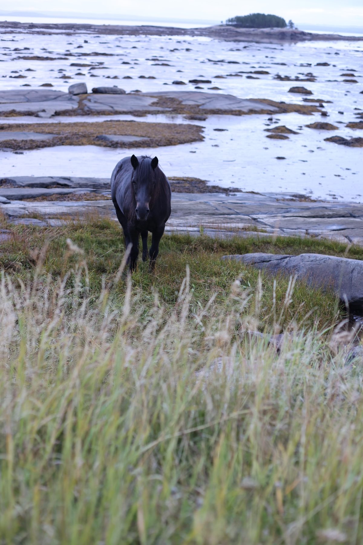
Kiy is a granite ridge in Onega Bay, about a kilometre and a half long: pines grow straight out of the rock, and sandy coves lie between the outcrops. At low tide the water retreats hundreds of metres, and across the exposed seabed you can walk to the neighbouring skerries. In August 2026 I was caught there by a storm: the sea came in brown, and foam lay on the grass like snow.
Every day or two a satellite passes over Onega Bay and photographs Kiy Island. Its schedule has not changed in eleven years: the pass falls between 11:55 and 12:25 Moscow time, three orbits, with less than seven minutes of spread within each. I was on the island in August.
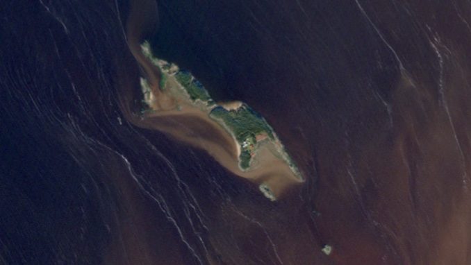
At that hour the island keeps a schedule of its own. Twice a day the sea withdraws, bares the tidal flat and returns, and each time the island is a different size. The tide follows the Moon, not the sun: today it arrives almost an hour later than yesterday.
The two schedules never coincide. The satellite comes at its own hour and catches a random phase of the tide.
Weather subtracts more. The pass happens on schedule regardless of the sky: the instrument records whatever is above the island, even if it is unbroken cloud. Of 1,777 observations, the shape of the island can be read in 861: above the 64th parallel the sky is closed more often than open, with a median cloud cover of 80.5%. In December, across eleven years, there is not a single frame — night falls over the White Sea.
Reference books give the island 0.384 km². In the image archive that value occurs 26 times out of 861 — one of many, which someone appointed the main one.
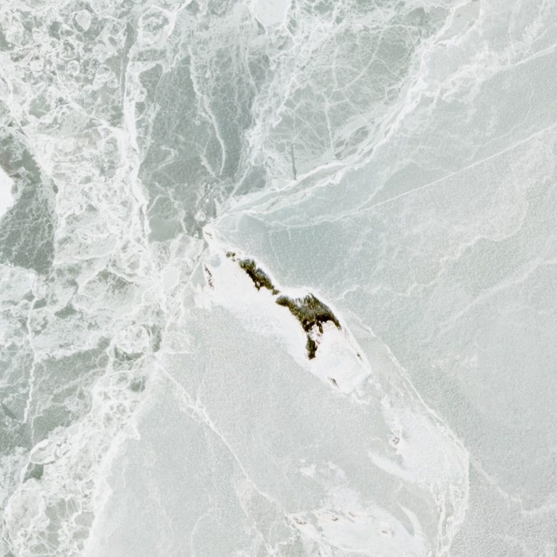
Two other craft fly nearby — radars. They send their own signal and listen for the echo, so night and cloud make no difference to them; they work in December too. On 23 December 2021 one of the radars operating at the time lost power to its antenna. The density of the record on Kiy immediately halved — from six days between frames to twelve — and stayed that way for three years, until a replacement was launched. The island did not change in that time. What changed was the possibility of recording it.
The island's boundary is drawn each time by someone else. The waterline is moved by the Moon. The line between land and water in the image is drawn by an algorithm at a chosen threshold. And through the island itself runs the 64th parallel — the boundary of the map zones along which the archive cuts it into two files. Every measurement carries the shape of the measurer.
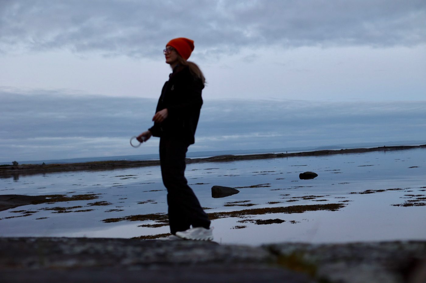
The first thing I downloaded was August — the month of my visit. The August images are gathered from different years, but among them is the day when I am standing on the island. Ten metres per pixel. A person does not fit into that size. Who decides which of the island's areas is the real one, and what the memory of a place is when what changes is the boundary rather than the content — these are the questions I try to answer in my projects.
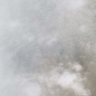
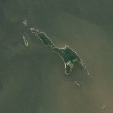
On the fourteenth of August a storm passed over the island. The orbital observer recorded a cloud; the one on the ground walked in the gale and is not sure of the island's shape. That day has not a single reliable witness.
August observations of the island in true colour, arranged by land area. The water of the White Sea is brown: rivers and bogs carry organic matter into it, and that is the colour the satellite sees.
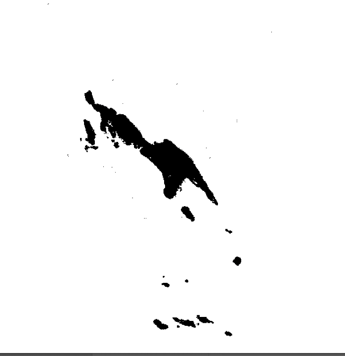
50 observations out of 1,777 passes, arranged by land area. The island's extreme shapes remain outside the imaging window. The wrong hour.
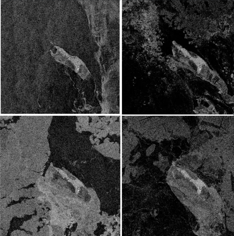
Radar sees through darkness and cloud: not in the human sense, but by impulse, listening for the echo. A radar frame is the trace of its own question, returned as an answer. December 2021 — four passes, between which the ice closes around the island. A record produced by echo.
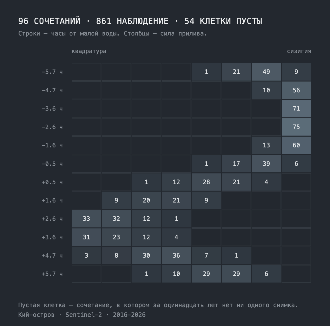
The field “lunar hour × phase of the Moon”, and the territories the observer never enters. The archive is not a neutral window onto the island; it is a record of what one particular technical system was able to see.
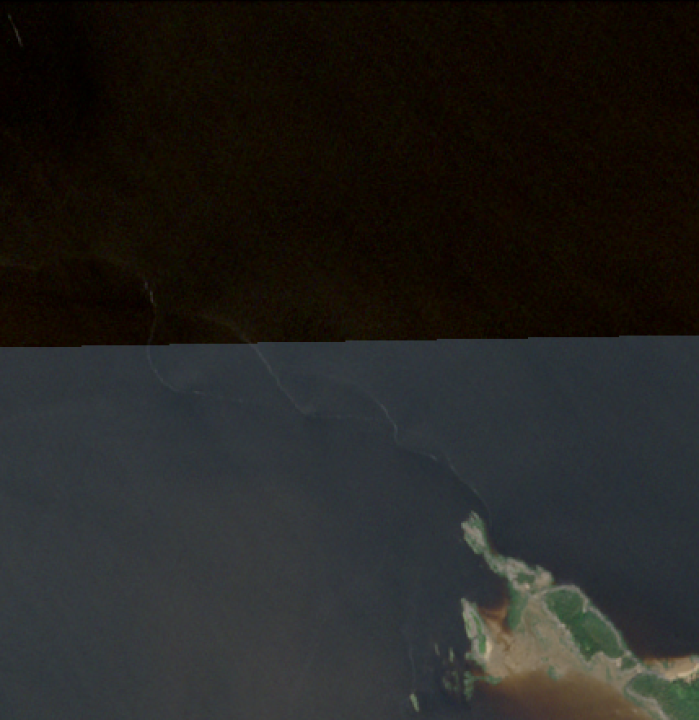
The 64th parallel — a zone boundary of the military MGRS grid — runs through the island. The military drew it for the convenience of storing information. Kiy sits in two different tiles, and when a frame is assembled from both, the join shows. The island has several boundaries, none of them stable, and a series of its states is cut in half by the seam. An island divided by the architecture of storage.
What is the primary source here — the island, the signal, the file, or the rule of selection?
When does a technical record become memory?